Site Observation
Initial fieldwork involves direct visual inspection of coastal features, noting geology, vegetation, and active processes.
Coastline Surveys develops concepts within coastal geomorphology, focusing on shorelines, dunes, tides, erosion, and the processes of coastal formation. The organisational approach combines field research with mapping methods to examine the spatial and temporal characteristics of these subjects. Investigations consider shoreline change over time, relying on observational records and analytical techniques. All descriptions remain informational and methodological, tracing relationships between natural forces and coastal configurations. The work is structured around systematically documenting landscape features and presenting findings derived from empirical study, without advocating for specific actions or predicting physical outcomes.
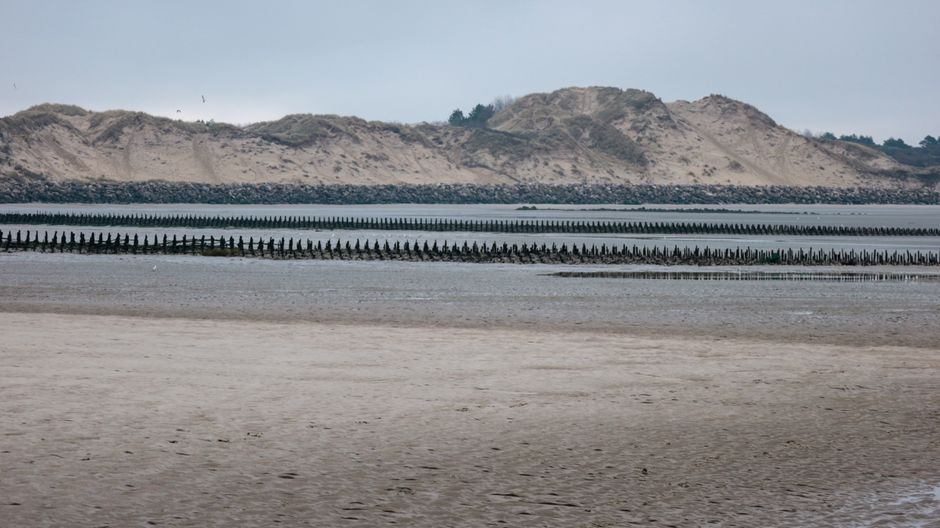
Initial fieldwork involves direct visual inspection of coastal features, noting geology, vegetation, and active processes.
Systematic measurements, photographic documentation, and sample collection provide a factual baseline for later comparison.
Field data are translated into maps and cross-sections, illustrating spatial relationships and geomorphological units.
Historical maps, aerial imagery, and survey data are compared to identify patterns of change over time.
The work of Coastline Surveys has centred on field research and mapping techniques used to document coastal geomorphology. Applied mapping approaches involve topographic and bathymetric surveys, aerial and satellite imagery, and spatial representations that record shoreline features and their positional change over time. Such methods serve as structured frameworks for documenting coastal systems. Interpretations of shoreline change remain conditional on multiple contextual factors, including sediment dynamics, hydrodynamic conditions, and observational period. The analysis is generally applied for understanding coastal systems.
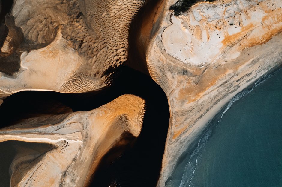
Shoreline change detection often involves comparing historical maps, aerial photographs and satellite imagery with current survey data. Field observations provide ground‑truthing of these datasets, recording morphological features such as dune position, cliff profiles and tide levels. Interpretations are inherently contextual, varying according to site‑specific factors like sediment supply, wave climate exposure and management history. Analyses indicate patterns, not predictions, and must always be considered within the broader coastal environment.
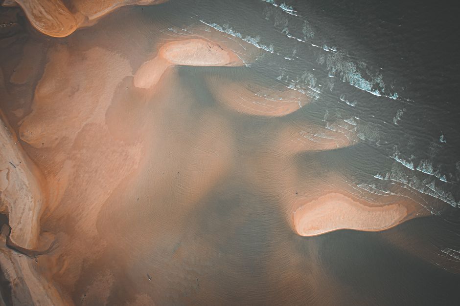
At Coastline Surveys, our perspective on coastal geomorphology integrates field research, mapping techniques, and shoreline change analysis as complementary methods. Fieldwork involves systematic observation and recording of landforms such as dunes, cliffs, and tidal flats. Mapping provides spatial context for these features using topographic and bathymetric data. Analysing shoreline change over time draws on historical records, aerial imagery, and positional surveys to document patterns of erosion or accretion. These approaches are used together to build a detailed understanding of coastal systems. The work is informational and process-oriented, focusing on describing and interpreting coastal dynamics rather than offering predictions or recommendations. We recognise that coastal environments are influenced by multiple factors, including wave action, sediment supply, and sea-level trends.